The Netherlands is known for its beautiful canals, windmills, and innovative water management systems. But with much of the country lying below sea level, flooding is a serious risk. Understanding where the risks are and how to prepare is essential.
This blog explores how flood maps in the Netherlands can help you assess flood risks, what tools are available, and how to protect yourself from flooding.
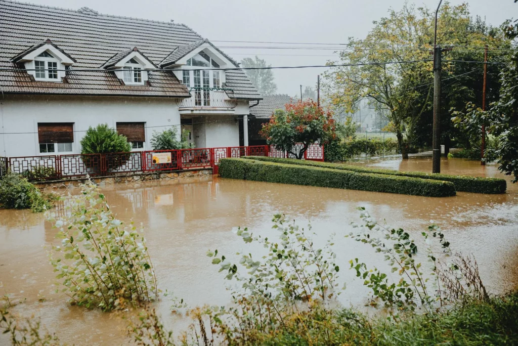
Why Is the Netherlands at Risk of Flooding?
The Netherlands is a low-lying country, with about 26% of its land below sea level. This makes it vulnerable to flooding from multiple sources:
- Storm surges from the North Sea
- Heavy rainfall that exceeds drainage capacity
- Rivers overflowing, especially the Rhine and Meuse
- Rising sea levels due to climate change
Despite having some of the best flood protection systems in the world, individual preparedness is still important. That’s where flood maps come in.
Interactive flood maps: Check your flood risk
Several interactive flood maps provide valuable insights into flood risks across the Netherlands. See the maps below to find out whether your in danger of high water.
- FloodMap.net allows users to visualize how rising water levels could impact different areas based on elevation. While helpful for understanding flood risks, it does not account for drainage systems or existing defenses.
- Atlas Leefomgeving offers a more detailed flood risk analysis, showing potential flood depths if dikes fail and highlighting dike protection levels. It also provides practical guidance on flood preparedness.
- Climate Adaptation Services’ Climate Impact Atlas focuses on future flood risks driven by climate change. It helps residents and policymakers understand how water levels and extreme weather may affect specific regions in the coming years.
- Risicokaart serves as a government tool for tracking flood risks and other hazards. It is particularly useful for emergency planning, helping authorities and residents assess whether their area is at high risk of flooding.
How to use flood maps to protect yourself
Now that you know where to find flood maps, here’s how to use them to stay safe:
- Check if your home is in a flood-prone area using one of the flood maps.
- Know the evacuation routes in case of an emergency.
- Prepare an emergency flood kit, including essentials like food, water, a flashlight, and important documents.
- Consider flood protection measures, such as installing a flood barrier to protect your home from water damage.
Floods can happen suddenly, and having a proper plan in place can save lives and property.
The Future of Flood Prevention in the Netherlands
The Netherlands is famous for its advanced flood protection strategies. Some key measures include:
- Delta Works, a system of dams and storm barriers designed to protect against the sea.
- Room for the River, a project that creates more space for rivers to flow naturally and reduce flooding.
- Smart urban planning, with flood-resistant infrastructure and sustainable drainage solutions.
These efforts are helping the country stay ahead of rising flood risks, but staying informed and prepared is just as important for individuals.
FAQ Flood map Netherlands
Where are the flood-prone areas in the Netherlands?
Flood-prone areas are mostly in low-lying regions, including the western provinces such as South Holland, North Holland, and Zeeland. Areas near major rivers like the Rhine, Meuse, and IJssel are also at higher risk of flooding.
Is the Netherlands in danger of flooding?
Yes, the Netherlands faces a continuous risk of flooding, especially with rising sea levels and more extreme weather events due to climate change. However, the country has strong flood defenses like dikes, storm surge barriers, and advanced water management systems to minimize the risk.
Which is the most flood-affected area?
The southwestern provinces, such as Zeeland, South Holland, and North Holland, are the most vulnerable to coastal flooding. Areas along major rivers also experience periodic flood risks due to heavy rainfall and river overflows.
Final Thoughts: Stay Informed and Stay Safe
Flooding is a serious risk in the Netherlands, but with the right knowledge and preparation, you can protect yourself and your home. Once you know your flood risk, taking action is crucial. Installing flood barriers, securing important documents, and preparing an emergency kit can make a significant difference in the event of a flood. Emergency plans, including evacuation routes and communication strategies, can ensure your family’s safety.
Want to secure your home against flooding? Install a Floodingmanager flood barrier today to keep water out and stay safe